
Tulare County ZIP Codes by Postal Area
Tulare County covers valley cities, agricultural communities, foothill roads, and national-park country. The working inventory below preserves the postal communities identified in the research. The Post Office column names the primary postal community or routing label, not a claim about a particular counter address. ZIP coverage is a service map. It should be checked against the complete address before a parcel, permit, or court jurisdiction is chosen.
| ZIP | Areas Covered | Post Office | Notes |
|---|---|---|---|
| 93201 | Alpaugh | Alpaugh | Southwest county and rural route |
| 93218 | Camp Nelson | Camp Nelson | Mountain community |
| 93219 | Earlimart | Earlimart | South county |
| 93221 | Exeter and nearby rural area | Exeter | City and surrounding rural delivery |
| 93223 | Farmersville and east Visalia area | Farmersville | Municipal and county geography can differ |
| 93227 | Goshen and the Visalia edge | Goshen | Unincorporated community |
| 93235 | Ivanhoe | Ivanhoe | Unincorporated area |
| 93237 | Kaweah and river foothills | Kaweah | Foothill routing |
| 93244 | Lemon Cove and the Kaweah corridor | Lemon Cove | Foothill community |
| 93247 | Lindsay and agricultural outskirts | Lindsay | City and rural delivery |
| 93257 | Porterville | Porterville | Main Porterville delivery ZIP |
| 93258 | Porterville | Porterville | Secondary or PO-box routing, verify the address |
| 93260 | Posey | Posey | Mountain and rural area |
| 93261 | Richgrove | Richgrove | South county |
| 93262 | Sequoia National Park | Sequoia National Park | Park and mountain routing |
| 93265 | Springville | Springville | Foothill community |
| 93266 | Strathmore | Strathmore | South-central county |
| 93267 | Terra Bella | Terra Bella | Agricultural community |
| 93270 | Terra Bella | Terra Bella | Secondary or PO-box usage, verify the address |
| 93271 | Three Rivers | Three Rivers | Park gateway and foothills |
| 93272 | Tipton | Tipton | Central agricultural corridor |
| 93274 | Tulare and rural delivery area | Tulare | Main city and rural delivery ZIP |
| 93275 | Tulare | Tulare | Secondary or PO-box usage, verify the address |
| 93277 | South and west-central Visalia | Visalia | Visalia delivery zone |
| 93278 | Visalia | Visalia | Secondary routing, verify the address |
| 93279 | Visalia | Visalia | PO-box or unique routing, verify |
| 93286 | Woodlake and foothill edge | Woodlake | City and foothill delivery |
| 93291 | North and west Visalia | Visalia | Visalia delivery zone |
| 93292 | East Visalia and rural edge | Visalia | Postal and county boundaries may diverge |
| 93603 | Badger | Badger | Northern foothill county area |
| 93615 | Cutler and Orosi area | Cutler | Community routing |
| 93618 | Dinuba | Dinuba | Northwest county |
| 93628 | Dunlap | Dunlap | Mountain area with mixed service geographies |
| 93631 | Kingsburg fringe | Kingsburg | Mostly Fresno County, verify a county-line parcel |
| 93633 | Kings Canyon National Park | Kings Canyon National Park | Park and mountain routing |
| 93646 | Orange Cove fringe | Orange Cove | Mostly Fresno County, verify a boundary address |
| 93647 | Orosi | Orosi | North-central county |
| 93654 | Reedley fringe | Reedley | Mostly Fresno County, verify county-line routing |
| 93666 | Sultana | Sultana | Rural north county |
| 93670 | Yettem | Yettem | Rural Cutler and Orosi vicinity |
| 93673 | Traver | Traver | Northwest county |
Porterville, Tulare, Terra Bella, and Visalia show why a postal inventory needs notes beside the number. A secondary or PO-box route can share a community name with a street-delivery route. The table also includes fringe postal names that are mostly associated with Fresno County. Those rows are useful prompts, not proof that a parcel belongs to Tulare County. A parcel search, a complete legal description, and the responsible city or county office settle that question.
Tulare County ZIP Geography Beyond City Lines
Tulare County spans 4,823.9 square miles. Eight incorporated cities sit within a larger field of unincorporated communities, farm areas, Sierra foothills, and national-park land. A postal city is therefore a delivery label, not a legal statement about city limits, county jurisdiction, school service, or police coverage. A Visalia, Tulare, or Porterville mailing name can attach to land outside the named city. The reverse also occurs when a city or county-line parcel receives mail through a neighboring postal community.
That split matters when a postal directory search becomes a records search. City building and planning files belong to the responsible municipality. Tulare County Resource Management Agency handles unincorporated parcels. The Assessor and county GIS identify parcel location and boundaries. USPS confirms whether a complete address is deliverable and what postal code belongs in the address. None of those sources replaces the others. Postal geography answers where mail routes; parcel geography answers what land is involved; jurisdiction answers which counter keeps the record.
Boundary check. Treat the ZIP as the first filter, then confirm the full address with USPS and the APN with the Tulare County parcel map before naming a records custodian.
Search One Tulare County ZIP in Stages
A ZIP search cannot perform one open countywide resident search. It can make a work list smaller. The county Public Parcel Search is documented for address, landmark, or Assessor's Parcel Number searches, not for an advertised owner-name or ZIP-wide browse. The GIS landing page supplies map and public-data links, but the research did not verify a ZIP filter or a buffer control. California's current voter tool is a self-check, while a voter information file is a controlled request.
- Verify the postal key. Put the complete street address into the USPS ZIP Code lookup. Keep the returned ZIP and any ZIP+4 with the address record. A place name alone is not enough.
- Move from ZIP to parcel. Use the address, landmark, or APN in the Tulare County Public Parcel Search. Copy the APN, situs address, and legal-location clues, then inspect the county GIS map.
- Use voter channels only for their stated purpose. A person can use California Secretary of State My Voter Status for personal status verification. A separate voter file request must state an approved purpose and requested geography; it is not casual ZIP browsing.
- Use a ZIP-capable clue with care. Search the California Controller's unclaimed-property system with the required name or property ID and the optional ZIP. Compare exact matches first, then similar matches, and treat an old reported address as a lead rather than a current location.
Once a ZIP narrows the work to known addresses, a street-level parcel sequence is more useful than a ZIP-wide name query. The Tulare County street directory workflow follows an address through the parcel map, deed index, permits, and historical address sources without implying that a postal code contains a resident roll.
Tulare County ZIP Search Field Notes
Two official portals handle different kinds of ZIP clues. The county parcel search starts with a physical land key. The California State Controller's unclaimed-property search starts with a name or property identifier and allows city and ZIP as optional filters. Their fields should not be blended. An APN locates land; an unclaimed-property ZIP describes a last-known report, which may be old.
| Portal and field | Required | Format and meaning |
|---|---|---|
| Tulare County Public Parcel Search: Address | One search key | Text address for a physical parcel |
| Tulare County Public Parcel Search: Landmark | Alternative | Text place or landmark clue |
| Tulare County Public Parcel Search: Assessor's Parcel Number | Alternative | Text APN; preserve leading and grouped digits as shown |
| Tulare County Public Parcel Search: Search and reset | Action | Submit or clear the land query |
| California State Controller Unclaimed Property: Last or Business Name | Required unless Property ID is used | Name match; exact results are shown before similar names |
| California State Controller Unclaimed Property: Property ID | Required alternative | Exact property identifier when known |
| California State Controller Unclaimed Property: First Name | Optional | Narrows a personal-name search |
| California State Controller Unclaimed Property: City | Optional | Reported city, not a parcel jurisdiction |
| California State Controller Unclaimed Property: ZIP | Optional | Reported ZIP clue; not proof of present residence |
| California State Controller Unclaimed Property: Search | Action | Returns exact matches, then similar matches |
The county's public landing page does not advertise an owner-name mode or a ZIP-wide parcel export. That gap is useful to state plainly. If an address or APN will not resolve online, the Assessor counter at 221 S. Mooney Blvd., Visalia, and the general Assessor contact at 559-636-5100 are documented fallbacks. A researcher who needs an existing record should identify addresses or APNs and ask the responsible custodian for a narrow, identifiable record. A request for a newly compiled ZIP resident list is a different request and is not something the parcel portal promises.
Safe at Home and ZIP Search Limits
California's Safe at Home address-confidentiality program gives qualified participants a substitute mailing address and confidential voter registration. The program covers protected groups described by the Secretary of State, including survivors of domestic violence, stalking, sexual assault, trafficking, child abduction, and elder or dependent-adult abuse. A postal match must never be used to reverse a substitute address or expose a protected participant. A ZIP code directory is especially weak evidence when the public record is designed to hide the real location.
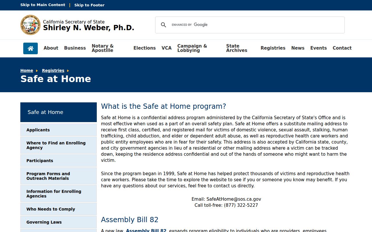
The California Secretary of State Safe at Home page is the controlling source for program information. The official page shows the confidentiality route and its relationship to address privacy.
Use the Safe at Home rules as a boundary on research, not as a puzzle to solve. Public voter data is also limited by California Elections Code §2194 to approved election, scholarly, journalistic, political, or governmental purposes. Names omitted from a public result are not evidence that no person is connected to the ZIP.
Porterville, Tulare, and Visalia ZIP Layers
Several Tulare County communities use more than one ZIP entry in the working inventory. Porterville appears at 93257 and 93258. Tulare appears at 93274 and 93275. Visalia appears at 93277, 93278, 93279, 93291, and 93292. The research labels some of these as secondary, PO-box, or unique routing. That label should prompt an address-level USPS check. It should not be turned into a claim that each number marks a separate city district or a separate population.
Terra Bella has the same issue at 93267 and 93270. Park and mountain routing appears at 93262, 93271, and 93633, where large distances and public or protected land can make a postal community a poor proxy for a neighborhood. A ZIP-only search may group a valley street, a remote route, and a PO box under one community name. Record the exact street address, APN, and legal description before comparing results.
USPS is the right authority for delivery form. Tulare County Assessor GIS is the right starting point for parcel location. The municipality or county office responsible for the parcel is the right source for permits and local code records. A postal label can guide the sequence, but it cannot decide which jurisdiction holds a record.
Postal Maps Are Not Megan's Law Rolls
The California Megan's Law Website offers official name, address, and map search features subject to statutory display rules and misuse warnings. It is not a Tulare County ZIP code directory. Some registrants or information categories may not be publicly displayed, and absence from a result does not prove that a person is not registered. A ZIP can be one map clue, never a complete list of people in that postal area.
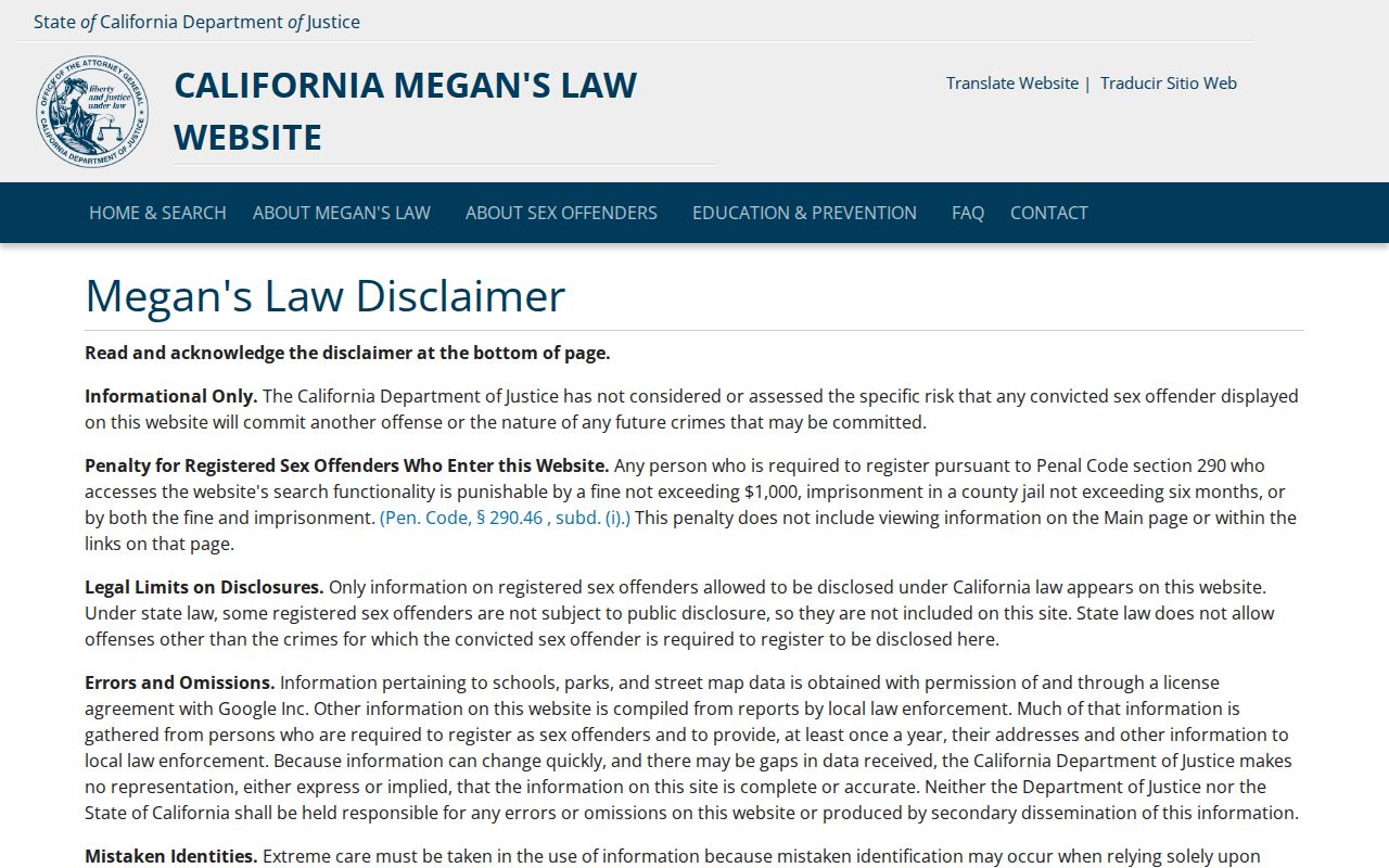
The official page shows why a location search needs a precise address or map context. The map can help a lawful researcher understand a location category, but it does not convert a postal route into a block-by-block resident index.
Use the registry only for its published public purpose and follow the site's statutory warning. Personal safety concerns should go through appropriate public-safety channels. Do not copy, republish, or use a ZIP grouping to target a person.
Fresno Fringe ZIPs Need a Parcel Check
ZIPs 93631, 93646, and 93654 are useful boundary reminders. Kingsburg, Orange Cove, and Reedley are mostly associated with Fresno County in the research, yet fringe addresses may touch Tulare County. A postal community can therefore send a researcher to the wrong county office if the APN is skipped. The same caution applies to 93628 Dunlap, 93603 Badger, and rural routes that cross service geographies.
For a boundary address, save the USPS result, search the complete address in the Tulare County Public Parcel Search, and open the parcel geometry in the Assessor GIS maps and public GIS data. If no county parcel appears, do not force a match. Check the neighboring county's land records or ask the responsible assessor which jurisdiction controls the parcel. The result should identify the land, not merely repeat the postal city.
ZIP 93227 Goshen, 93235 Ivanhoe, 93615 Cutler, 93647 Orosi, 93666 Sultana, 93670 Yettem, and 93673 Traver likewise show why an unincorporated community name can be more informative than a city label while still failing to establish a legal boundary. Postal geography and county geography overlap, but they are not interchangeable.
Three Tulare County Address Identities by ZIP
Keep three identifiers together whenever a ZIP search moves into records. The situs address describes the physical place. The mailing address describes where notices or correspondence are sent. The legal description, often paired with an APN, describes the land in a deed or plat. A ZIP belongs most naturally to the mailing and delivery layer. It does not replace the legal description or parcel number.
- ZIP code
- A USPS routing area used to sort and deliver mail. It is not a city-limit polygon or an open resident list.
- ZIP+4
- The extra four digits can narrow delivery to a route, block, building, or box group. USPS confirms it for the complete address.
- PO-box ZIP
- A postal route used for boxes or other secondary delivery. The community name may match a street-delivery ZIP without covering the same land.
- Unique ZIP
- A routing designation associated with a particular large institution or special delivery setting. It should not be treated as a neighborhood.
- Carrier route
- A local delivery path inside a broader ZIP. It helps mail service, but it is not a public household roster.
When an old deed, current parcel card, or historical directory uses a different street number, preserve the APN and legal description beside the postal address. That chain is more stable than a ZIP label, especially near city lines, canals, mountain roads, and county borders.
Tulare County ZIPs: Not a Resident Roll
A Tulare County ZIP code directory can organize postal areas and show which official tools might accept a ZIP clue. It cannot lawfully promise every resident, every household member, or every current occupant in that area. The Assessor identifies parcel facts and an assessed owner. My Voter Status is a private identity check. Voter-file access is purpose-limited. Unclaimed property records a last-known report. Safe at Home protects qualifying addresses. Courts, vital records, and other custodians apply their own access rules.
When an existing county record is needed, the Tulare County Clerk of the Board public-records request route describes the California Public Records Act process. A CPRA request should name an existing identifiable record, office, date range, address, or APN. Agencies need not build a new ZIP-based resident compilation. A narrow request is more likely to reach the right custodian and keeps the distinction between a postal filter and a person record clear.
The useful endpoint is a verified address and a defensible source trail. Start with USPS, move to the Tulare County parcel and GIS tools, and then use the office or historical collection that answers the actual question. That sequence makes the postal directory a practical geographic index without overstating what postal data can reveal.