
Walk a Tulare County Street by Address
A reliable street directory search begins with the full deliverable address, then moves from postal form to land record. The goal is not to produce an unverified list. It is to connect a place to the right parcel, the right legal description, and the right record custodian. Keep a work note for every result. Write down the search date, exact spelling, APN, situs address, mailing address when shown, and any old number. A street name alone can cross city limits, change spelling, or appear in more than one community.
Use this order for a current address trail:
- Normalize the street and verify the complete ZIP with USPS ZIP Code Lookup. A postal city helps delivery, but it does not decide city or county jurisdiction.
- Open the Tulare County Public Parcel Search by address. Save the APN, parcel or situs address, lot size, zoning, value, and physical characteristics that the result provides.
- Open the county GIS map, search or zoom to the address or APN, click the parcel polygon, inspect adjacent parcels, and record the APN and legal description it connects to the land.
- Carry that APN and legal description into the Recorder’s Official Records index. Search the owner or party name only after the parcel context is known, then compare each deed link by legal description and date.
- Request city or county permits and code files by situs address, APN, and date span. The responsible office changes at an incorporated-city line.
- Use an approved voter route only when the purpose and access rules fit. My Voter Status is for a person’s own status, not an open street browse.
- Ask the Annie R. Mitchell History Room for a reverse or criss-cross directory in the target year. That source can add a listed occupant clue without turning it into a current fact.
- Bridge old numbers with a recorded plat or Sanborn map. Preserve the historical number and modern parcel together before deciding that two entries are different places.
When the question shifts from an entire road to one person, the Tulare County resident lookup route is the better next step. It keeps identity matching separate from the parcel-by-parcel street chain.
Tulare County Address Record Coverage
The street directory record chain has no single keeper. Address-keyed sources overlap, but their evidence is different. The Assessor connects a situs address to a parcel. GIS shows geometry and adjacency. The Recorder shows named parties to a recorded instrument. Permits identify applicants, contractors, or work dates. A reverse directory lists what a publisher or canvasser recorded in a particular edition. The voter file is restricted, and public history collections are dated snapshots.
| Address source | Keeper | What it can show | Access route |
|---|---|---|---|
| Assessment parcel | Tulare County Assessor | APN, situs, value, characteristics, zoning or lot facts | Free search by address, landmark, or APN |
| GIS / cadastral map | Assessor and county GIS | Parcel shape, boundaries, nearby parcels, map or data links | Web map, PDF, or public GIS route |
| Deed and official record | Recorder Division | Grantor, grantee, legal description, record date and number | Free index; paid copies; counter or mail fallback |
| Permit or code file | City office or county RMA | Applicant, contractor, work, case date, or status where public | Jurisdiction portal, clerk, or focused request |
| Voter information | Secretary of State and Registrar | Personal status or approved-purpose registration data | Identity gate or purpose-certified request |
| Reverse directory | Annie R. Mitchell History Room | Listed occupant, telephone, or address clue for an edition year | Visit, email, or research form |
| Plat or historic map | Recorder, Assessor, library, or LOC | Lot, block, tract, structure, old street or number context | Recorded map search, shelf, or map database |
Chain the sources with stable keys. APN joins the assessment result to GIS and often helps locate a deed. A legal description can survive a street-name change. A permit number can distinguish two projects at one address. A directory year can explain who was listed there, while a voter record can only be used through its permitted route. The street directory becomes more accurate when the source label stays attached to the fact it supports.
Tulare County Parcel Search Fields
The county’s Public Parcel Search is the first live address tool because its confirmed search modes are simple. It accepts Address, Landmark, or Assessor’s Parcel Number. The public landing page does not advertise owner-name mode. A name-only query should therefore begin in the Recorder or another source, not in a parcel field that may not exist. The Assessor counter at 221 S. Mooney Blvd. and the general Assessor contact, 559-636-5100, are useful when a web match is unclear.
| Field label | Type | Required or alternate | What to retain |
|---|---|---|---|
| Address | Text | One search key | Exact situs form, direction, suffix, and number |
| Landmark | Text | Alternative search key | Named place when a street number is uncertain |
| Assessor’s Parcel Number | Text | Alternative search key | APN for GIS, deed, plat, and permit cross-checks |
| Search / clear | Controls | Submit or reset | Record the date and terms used |
County descriptions identify result fields such as APN, parcel or address, lot size, zoning designation, most recent appraised value, and physical characteristics. GIS can add a boundary view and links to public map or data products. The online description does not confirm every live result column, including owner-name mode, exemption data, or mailing-address display. Treat any such field as a live-portal fact that may change, and do not confuse a value with a sale price.
Note: Copy the parcel’s situs address before the mailing address because the two may point to the land and the notice recipient in different places.
GIS Maps for Tulare County Streets
The Tulare County Assessor GIS route turns a single address into a street view. Search or zoom to an address or APN, click the parcel polygon, read the popup or linked parcel record, then pan along the road and open each adjacent parcel. This map browse is useful for a subdivision, a cul-de-sac, a farm road, or a mountain parcel where a street list would hide the shape of the land. It also shows why “neighbor” can mean a nearby lot in a valley block or a much farther property in foothill country.
The Tulare County Assessor GIS Maps and Public GIS Data landing page exposes map and data entry points, but the research capture did not establish a stable live layer list, buffer tool, measure tool, or export control. Do not promise a radius search unless the interactive map displays one. Use the parcel polygon and APN as the confirmed mechanics. A public map can reveal an adjacent parcel without revealing an occupant, utility customer, or personal relationship.
Keep the map scale and date with the result. A boundary can cross a street, canal, alley, city line, or ZIP line. An adjacent parcel may be public land, ranch acreage, or a separate legal tract. The map is strongest for location and geometry; the Recorder is stronger for a recorded party; the History Room is stronger for an old listed occupant.
Tulare Deeds Along a Street
Once the APN and legal description are known, move to the Tulare County Official Records search. Its confirmed fields are Name, Document Number, and Document Type. Name functions as a grantor or grantee search, so try spelling variations and check whether a party appears in the right parcel chain. Document number is best when a prior record supplies it. Document type narrows deeds, deeds of trust, liens, reconveyances, maps, and other recorded categories.
The Recorder’s official page does not publish the online index’s exact start year. When the web index ends or an image is unavailable, use Room 103 public terminals and microfiche, Monday through Friday from 8 a.m. to 5 p.m. Recording closes at 3 p.m. The Recorder is at 221 S. Mooney Blvd., Rooms 103 and 105, and can be reached at 559-636-5050. Copies can be ordered in person, through the portal, or by mail with a Recorded Document Request Form and check or money order to Room 105. The 2025 schedule lists $3 for the first page, $1 for each additional page, and $2 more for certification.
Read the deed as a chain, not a name match. Compare grantor, grantee, legal description, record date, document number, trust or entity name, and any map reference. A transfer to a trust, probate representative, spouse, partnership, or corporation can change the indexed name without changing the land. The owner is not the occupant, and the party to a deed is not every person who uses the address.
Note: The recorded image controls the instrument’s detail, while the index supplies the search path; keep both labels in the research note.
Permits at Tulare County City Lines
Permit and code records split by jurisdiction. Dinuba, Exeter, Farmersville, Lindsay, Porterville, Tulare, Visalia, and Woodlake each have municipal planning or building responsibilities within their limits. Tulare County’s Resource Management Agency handles unincorporated parcels. A street directory search should first establish the city or county service area with the parcel and GIS result, then contact the responsible records unit. A city clerk or permit portal may hold applicants, contractors, project types, dates, and status. Those names show a civic transaction, not a complete household.
No single countywide municipal permit interface with uniform fields or coverage dates was verified. Supply the full situs address, APN when known, document or permit type, and date span. If the portal is absent, ask the city clerk or planning/building counter for an existing permit or code file. For a county agency, the Clerk of the Board’s NextRequest California Public Records Act route can be used for a focused, identifiable record. The county need not create a new street list or merge every city’s data.
Police reports follow the city police department, or the Sheriff for unincorporated territory and contract jurisdictions. Active investigations, juveniles, victims, medical information, and other protected material may be withheld or redacted. An address alone does not guarantee that a report is releasable. Use the same APN, date range, and jurisdiction check before treating a permit or incident result as part of a street history.
Tulare County Voter Address Rules
California My Voter Status is an identity-gated self-check. It asks for first name, last name, date of birth, county, and an identification value as prompted. It can return the requesting voter’s status, party preference, and election information. It is not a legal tool for casually browsing every registration along a street. A street directory must never describe an identity-gated form as an open resident roll.
California Elections Code §2194 limits the separate voter information file to approved election, scholarly, journalistic, political, or governmental purposes. A request can involve name, date of birth, registration date, residential and mailing address, precinct, party preference, contact information, and participation history, but ballot choices are not included. The Voter Information File Request application and security terms control the access route. Tulare County’s Registrar of Voters is the proper contact for local registration statistics, precinct maps, candidate filings, statements, and approved data requests.
The manifest capture from the California Secretary of State registration-status page shows the official voter-status entry point. It helps distinguish a private status check from the restricted file process.
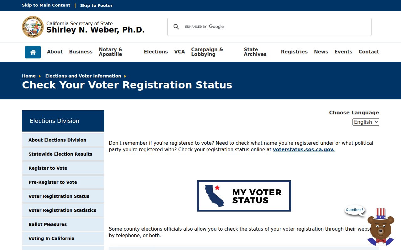
The voter-status screen is a personal verification route, so a street-by-street result cannot be inferred from it. Safe at Home participants may register confidentially, and a protected address must not be reconstructed from another source.
Note: An inactive registration status reflects maintenance rules and is not proof that a person has moved from a Tulare County street.
Tulare County Reverse Directory Clues
The Annie R. Mitchell History Room holds the best local fallback for an old street directory question. The room is at the Visalia Branch, 200 W. Oak Ave., Visalia, open Tuesday through Friday from 1 to 5 p.m., and reachable at 559-713-2727. Researchers may visit, email, or use the research-request form. Staff warns that work depends on staffing and may take days to weeks. Give the street, house number, target year, former name, and reason for the search so staff can check the right shelf, microfilm, yearbook, newspaper, or map.
A reverse or criss-cross directory starts with street and number, then supplies a listed occupant, telephone, or household clue for that edition. It may reveal who a publisher recorded at an address when a current parcel result names only an assessed owner. Exact Tulare County publisher runs and years were not published in the official online material, so request a verified year instead of guessing. The historical volumes themselves are described more fully in the Tulare County city directory collections route.
Use a directory entry with a newspaper notice, yearbook, Great Register, cemetery record, or deed when identity matters. A person can be omitted, misspelled, newly moved, or listed at a work number. A reverse directory is a dated clue, not a current occupant guarantee.
Old Tulare County Street Numbers
Old addresses can fail a modern search even when the building and parcel are the same. Begin with a complete postal address and verify the ZIP through USPS. Then use the parcel map, APN, recorded plat, and legal description as the continuity keys. A postal city such as Visalia, Tulare, or Porterville does not set the city limit, permit office, or county service area. The county’s eight incorporated cities sit beside unincorporated communities, so a street label must be checked against the parcel.
Sanborn fire-insurance maps can bridge an old number by showing the block, street name, lot, structure footprint, use, and edition context. The Library of Congress Sanborn searching guide explains how to search place and edition. A recorded plat or subdivision map can add lot, block, and tract relationships. Neither source identifies every person in a building. A map dates the structure or its use; a deed names parties to land; a directory lists an occupant only for its own edition.
The manifest capture from the Library of Congress Sanborn searching guide shows the map search route.
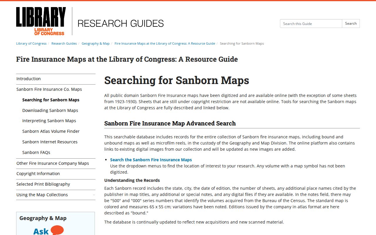
The map-search capture is useful for old-number context, but current parcel and deed work still belongs with the Assessor and Recorder.
Keep five terms distinct when old and new records meet:
- Parcel
- A separately identified unit of land, usually tied to an APN and legal description.
- Situs address
- The physical location assigned to the land or structure, used for parcel and service-jurisdiction searches.
- Mailing address
- The place where assessment or tax notices are sent. It can belong to an owner who is elsewhere.
- Plat
- A recorded survey map showing a subdivision’s lots, blocks, tracts, easements, or related lines.
- Criss-cross directory
- A reverse directory that moves from street and number to a listed occupant or telephone clue for a dated volume.
Tulare County Street Directory Limits
A street directory can assemble property, map, deed, permit, voter, and historical clues, but it cannot make a complete list of everyone who lives along a road. The Assessor describes an assessed parcel and owner connection. The Recorder describes parties to instruments. GIS describes land geometry. Reverse directories describe what was listed in a particular year. None proves every occupant, visitor, child, household member, or current presence. DMV records are restricted under the Driver’s Privacy Protection Act, and utility customer data is not an open resident source.
Addresses can also be protected or withheld. California’s Safe at Home program provides a substitute mailing address and confidential voter registration for qualified participants. Sealed, juvenile, adoption, and confidential-marriage records follow their own rules. A public result that is absent, redacted, or old should not be filled with a commercial compilation or a guess. Correct an official record with the custodian that created it, and keep a source date beside every street fact.
Lawful address research. Tulare County parcel and street records may support personal, family-history, reunification, safety, or civic research. Do not use a name, address, voter clue, map, or compiled result to stalk, harass, threaten, intimidate, or harm another person.
When a street search reaches a privacy boundary, use a narrower lawful purpose and the proper custodian. The county’s public records process can locate an existing permit or administrative file, but it will not create a private household list. The strongest street directory work records what each source can show and stops where that source ends.
Note: Owner, listed occupant, registered voter, permit applicant, and neighbor are separate roles; never collapse them into one identity without independent support.